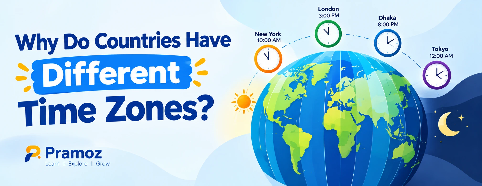
Why Do Countries Have Different Time Zones?
If it is noon in one country, it can be morning, evening, or even the next day somewhere else. That is not because time itself moves differently from place to place. The main reason is simple: Earth rotates, so different parts of the planet face the Sun at different times.
To make this global difference manageable, societies developed time zones—regions that use the same official clock time. The basic system is linked to longitude, with the Earth divided conceptually into 24 hourly sections. But modern time zones are not perfect slices of the planet. Countries adjust their boundaries and clock rules for geography, transportation, economics, administration, and political decisions.
That is why a country can have one time zone despite spanning thousands of kilometres, while another can have several.
The simple answer: Earth does not experience noon everywhere at once
Earth rotates approximately once every 24 hours. Since the planet is roughly 360 degrees around its circumference, Earth turns about 15 degrees of longitude per hour.
This creates a natural relationship between longitude and local solar time:
- Move about 15° east, and local solar time is roughly one hour later.
- Move about 15° west, and local solar time is roughly one hour earlier.
- Move eastward across the globe, the clock generally advances.
- Move westward, it generally moves backward.
So when the Sun is highest in the sky over one region, another region farther west may still be waiting for sunrise.
A world without time zones would therefore have thousands of slightly different local times.
Before standardized time, towns often followed the Sun
For much of history, people did not need synchronized clocks.
A town could simply define midday according to when the Sun reached its highest point locally. This was known as local solar time or apparent/mean solar time, depending on the system being used.
That worked reasonably well when travel was slow and most communication was local.
But the arrival of railways and rapid long-distance communication changed the problem.
Imagine a train traveling between several cities. If every city used its own local solar time, a railway timetable could become confusing because every stop might have a slightly different clock.
Railroads therefore became an important force behind standardized time. In the United States, railways introduced a Standard Railway Time System in 1883, helping establish standardized time before international agreement on a global system.
The reason was practical: people needed clocks in different places to agree.
How Greenwich became the reference point
A global time system needs some reference longitude.
In the 19th century, several prime meridians were used for different purposes. The meridian passing through Greenwich, England, became increasingly important, particularly because of Britain's role in navigation and the widespread use of Greenwich-based astronomical and navigational information.
In 1884, the International Meridian Conference in Washington adopted the Greenwich meridian as the initial or prime meridian for longitude and timekeeping.
The prime meridian became 0° longitude.
From that reference, longitude can be measured east or west around Earth.
This eventually gave the world a practical framework for describing time differences using offsets from the reference time.
What does UTC have to do with time zones?
Today, Coordinated Universal Time (UTC) is the main international reference for civil time.
You will often see time zones written as offsets from UTC:
| Location exampleUTC offset |
|
| UTC reference | UTC+0 |
| Bangladesh | UTC+6 |
| India | UTC+5:30 |
| Nepal | UTC+5:45 |
| Japan | UTC+9 |
The important point is that UTC is a reference, not a single clock that every country must copy exactly.
A country's civil time can be described as an offset from UTC. Computer systems, smartphones, airlines, banks, websites, calendars, and communication services use time-zone rules to convert between these local times.
The IANA Time Zone Database records the historical and current rules used by software to calculate local time, including changes made by governments to UTC offsets, boundaries, and daylight-saving rules.
Why aren't time-zone boundaries perfectly straight?
If time zones were based only on geography, their boundaries would roughly follow lines of longitude.
Real countries do not.
A time zone is ultimately a civil and administrative arrangement, not simply a natural geographic feature.
Governments may choose a particular time zone because it makes administration, business, transportation, communication, or coordination easier.
As a result, time-zone boundaries can bend around national borders, regions, islands, and political jurisdictions.
NIST explains that although the theoretical world time zones average about 15 degrees of longitude each, actual boundaries have been adjusted for the convenience and preferences of local populations.
This is one reason a time-zone map looks much less tidy than a globe divided into 24 equal slices.
Why do some large countries use only one time zone?
Geography does not force every country to create multiple time zones.
India is a useful example.
India stretches roughly 3,000 kilometres from west to east, covering almost 30 degrees of longitude, yet the entire country officially uses India Standard Time (IST), UTC+5:30.
That creates an interesting consequence: sunrise and sunset occur at noticeably different clock times in different parts of the country.
Why keep one national time?
A single national clock can simplify nationwide administration, transportation, business schedules, broadcasting, education, and communication. But it can also mean that the clock does not align equally well with daylight everywhere.
This is a useful reminder that time zones are designed for people as much as they are derived from geography.
Why does Nepal use a 45-minute time zone?
Not every time-zone offset is a whole number of hours.
Nepal uses UTC+5:45, making it one of the world's best-known 45-minute time zones.
The reason is connected to Nepal's chosen reference meridian and its relationship to local solar time. Nepal adopted its current 45-minute offset in the 20th century rather than simply copying India's UTC+5:30 time.
This means that Kathmandu can be 15 minutes ahead of nearby Indian locations that use IST.
The example shows why saying "every time zone is exactly one hour apart" is an oversimplification.
Why are some time zones 30 or 45 minutes apart?
The familiar image of the world divided into hourly zones is useful, but it is not a strict rule.
Countries can choose offsets such as:
- UTC+5:30
- UTC+5:45
- UTC+9:30
- UTC+10:30
These unusual offsets may reflect geographic longitude, historical decisions, administrative choices, or a compromise between different parts of a country.
India's UTC+5:30 is a prominent example, while Nepal uses UTC+5:45.
So 15 degrees of longitude per hour describes the basic astronomical framework—not a legal requirement that every country must follow.
Why do some countries have multiple time zones?
Large countries can span enormous east-west distances.
Russia, for example, stretches across a vast portion of Eurasia and therefore uses multiple time zones. The United States also has several standard time zones across its mainland and territories.
Multiple time zones allow local clocks to better reflect the progression of daylight across a large geographic area.
Consider a country stretching thousands of kilometres from west to east. If everyone used exactly the same clock, sunrise could occur extremely early in the east while the west was still dark.
Multiple time zones provide a way to keep ordinary schedules more closely connected to daylight.
But governments can choose a different arrangement when national coordination is considered more important than matching local solar time.
Daylight saving time adds another layer
Time zones are only part of the story.
Some countries or regions periodically change their clocks, usually by moving them forward during part of the year. This is known as daylight saving time (DST) or summer time.
The idea is to shift the clock relative to daylight during certain seasons.
That means a location can have:
Standard time → UTC offset A
and later:
Daylight saving time → UTC offset A + 1 hour
However, many countries do not use daylight saving time at all.
For example, India uses UTC+5:30 throughout the year, while Nepal uses UTC+5:45 throughout the year.
This is why checking only a country's standard UTC offset can sometimes be misleading when scheduling international events.
Time zones can change
Time zones are not permanent features of the Earth.
Governments can change them.
They can:
- Move a country to a different UTC offset
- Change daylight-saving rules
- Abolish daylight saving time
- Create or remove regional time zones
- Adjust boundaries
- Adopt a different national standard
The modern IANA Time Zone Database is updated when such civil-time rules change.
For example, the 2026d IANA release, published on September 11, 2026, recorded that Canada's Northwest Territories moved to permanent UTC−06 on August 21, 2026. The database also records other recent changes to regional clock rules.
This is why time-zone information used by computers has to be maintained continuously.
What happens near the International Date Line?
Time zones do more than change the hour. Eventually, traveling far enough around Earth also changes the calendar date.
The International Date Line runs roughly through the Pacific Ocean, although its actual path bends to accommodate political and geographic considerations.
Crossing it generally changes the calendar by one day.
This is necessary because if you kept moving west or east while continuously adjusting the clock, eventually two places could otherwise disagree about which calendar day they were experiencing.
The date line essentially provides the point where that accumulated difference is reconciled.
A simple example of international time differences
Suppose it is 10:00 UTC.
Using the relevant offsets:
| PlaceUTC offsetLocal time |
|
|
| UTC | +0 | 10:00 |
| India | +5:30 | 15:30 |
| Nepal | +5:45 | 15:45 |
| Bangladesh | +6 | 16:00 |
| Japan | +9 | 19:00 |
These differences come from the local civil-time rules in effect for those locations.
For someone arranging an international meeting, a "10 AM meeting" therefore means very different things depending on which time zone the organizer intended.
That is why digital calendars usually store or transmit time-zone information rather than relying only on a bare clock time.
Why time zones matter in everyday life
Time zones affect much more than clocks on a wall.
They influence:
- International flights
- Online meetings
- Banking and financial markets
- Software systems
- Server logs
- Website publishing
- Television broadcasts
- Sports events
- International business
- Travel schedules
- Remote work
- Phone calls
- Online classes
- Delivery and logistics
- Computer operating systems
Consider a simple business meeting between Dhaka, London, and Tokyo. A meeting that is convenient for one office might fall outside normal working hours for another.
The time-zone problem is therefore not merely geographical. It is a fundamental part of modern global coordination.
A common misconception: time zones are not natural borders
It is tempting to think that Earth naturally contains exactly 24 fixed time zones.
That is only partly true.
The 24-hour day and Earth's rotation are natural. The boundaries used by governments are human-made.
The theoretical system gives us approximately 24 hourly zones because a 360-degree rotation divided by 24 hours produces 15 degrees per hour. But actual civil-time boundaries reflect national borders, geography, history, economics, administration, and government decisions.
That distinction explains many of the strange-looking time-zone maps found online.
Quick takeaway
Countries have different time zones because Earth rotates and different longitudes experience daylight at different times. Standardized time zones were created so people could coordinate clocks instead of every town maintaining its own local solar time.
The modern system uses UTC as an international reference, but individual countries decide how their civil clocks relate to that reference.
As a result, time zones are a mixture of:
- Astronomy — Earth's rotation creates different local solar times.
- Geography — longitude determines when places experience daylight.
- History — railways, navigation, and international coordination encouraged standardization.
- Government decisions — countries establish their legal civil time.
- Practical considerations — national administration and daily schedules influence boundaries and offsets.
That is why the world's clocks can be different even though everyone is living on the same planet and experiencing the same continuous flow of time.
FAQ
Why does the world have different time zones?
The world has different time zones because Earth rotates from west to east. Different longitudes therefore face the Sun at different times. Time zones provide standardized local clock times so communities and countries can coordinate daily activities.
How many time zones are there?
The simplest theoretical model divides Earth into 24 one-hour zones, based on 24 hours in a day. In practice, civil time is more complicated because countries use different UTC offsets, boundaries, daylight-saving rules, and political arrangements.
Why are time zones based on longitude?
Longitude measures how far east or west a location is from the prime meridian. Because Earth rotates approximately 15 degrees of longitude per hour, longitude provides a natural basis for calculating differences in local solar time.
Why is Greenwich important to time zones?
The Greenwich meridian was adopted as the prime meridian at the 1884 International Meridian Conference. It became the 0° longitude reference used for the international framework of longitude and timekeeping.
Why does India have only one time zone?
India officially uses India Standard Time, UTC+5:30, across the country despite its large east-west geographic span. A single national time simplifies nationwide coordination, although it means sunrise and sunset occur at substantially different clock times across the country.
Why is Nepal's time zone 45 minutes?
Nepal uses UTC+5:45. Its standard time was established around a reference meridian associated with Nepal's geography rather than simply adopting India's UTC+5:30.
Can a country change its time zone?
Yes. Governments can change their legal UTC offset, time-zone boundaries, or daylight-saving rules. Such changes are reflected in databases such as the IANA Time Zone Database, which is regularly updated.
Are time zones determined only by science?
No. Earth's rotation and longitude provide the scientific foundation, but modern time zones are also shaped by political boundaries, history, administration, transportation, and practical considerations.
SUGGESTED INTERNAL LINKS
- Anchor: “How Does the International Date Line Work?”
- Suggested article: What Is the International Date Line and Why Does It Change the Date?
- Anchor: “What Is UTC?”
- Suggested article: UTC Explained: What Coordinated Universal Time Means
- Anchor: “How Earth’s Rotation Works”
- Suggested article: Why Does Earth Rotate and How Does It Affect Day and Night?
- Anchor: “Why Do We Have Day and Night?”
- Suggested article: How Earth’s Rotation Creates Day and Night
- Anchor: “Daylight Saving Time Explained”
- Suggested article: What Is Daylight Saving Time and Why Do Some Countries Use It?
- Anchor: “Why Is India 30 Minutes Ahead of UTC?”
- Suggested article: Why Does India Use a Half-Hour Time Zone?
- Anchor: “Why Nepal Uses UTC+5:45”
- Suggested article: Why Does Nepal Have a 45-Minute Time Zone?
- Anchor: “How Time Zones Affect Travel”
- Suggested article: Jet Lag Explained: Why International Travel Disrupts Your Body Clock
- Anchor: “How to Convert Time Between Countries”
- Suggested article: How to Calculate Time Differences Between Countries
- Anchor: “The History of Standard Time”
- Suggested article: How Railways and Telegraphs Changed the Way the World Tells Time
SOURCES
- U.S. National Institute of Standards and Technology (NIST) — historical development of world time scales, Greenwich prime meridian, 24-hour/15-degree framework, and the role of railways in standard time.
- IANA Time Zone Database — current time-zone rules, historical changes, UTC offsets, and the latest 2026d database release.
- IANA Time Zone Database Release History — documented 2026 changes to civil-time rules.
- Timeanddate — India Time Zone Information — India Standard Time, UTC+5:30, geographic span, and historical time-zone context.
- Timeanddate — Nepal Time Zone Information — Nepal's UTC+5:45 offset and history.
 english